
Chapman’s Peak Drive
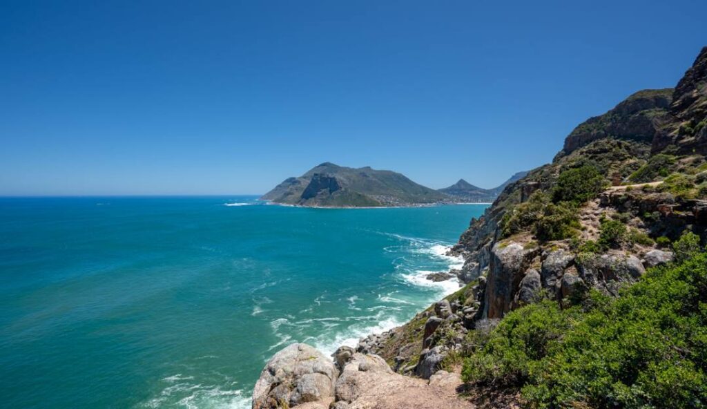
Chapman’s Peak Drive is one of the most spectacular coastal roads in the world, located on the Atlantic seaboard of the Cape Peninsula, south of Cape Town.
The road stretches for about 9 km between Hout Bay and Noordhoek, hugging the cliffs of Chapman’s Peak with dramatic drops down to the ocean below. It was carved into the mountainside between 1915 and 1922, an impressive engineering feat at the time.
As you drive along the route, you’re treated to breathtaking views of the Atlantic Ocean, the rugged coastline, and the surrounding mountains. There are several designated viewpoints and picnic spots where you can stop to take in the scenery or snap some photos.
A few things worth knowing: the road is a toll road, so there is a small fee to drive it. It can also be closed periodically due to rockfalls, as the cliffs above are unstable in places — so it’s worth checking beforehand that it’s open. The best time to drive it is on a clear day, ideally in the late afternoon when the light is golden and the views are at their most stunning.
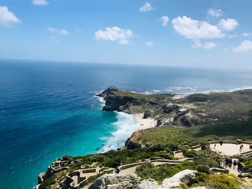
It’s a must-do when visiting Cape Town, and is often combined with a trip to the Cape of Good Hope, a visit to the penguin colony at Boulders Beach, or lunch in the charming seaside village of Noordhoek or the harbour at Hout Bay.
From Cape Town, follow the Atlantic coastline along the M6 route southwards, passing through Clifton and Camps Bay. Then continue towards Hout Bay. Once in Hout Bay, you will find the entrance to Chapman’s Peak Drive clearly signposted, with the toll booth at the entrance. You can also approach from the other end via Noordhoek if you are coming from the Muizenberg side or from the M3 route.